The annual increase in mobility in cities, towns and villages is a clear problem in all urban areas in Spain. This is also the case in Castro Urdiales, a municipality in Cantabria bordering the Basque Country, which generates a large number of trips by private vehicle at the end of the day, both for residents working in the municipality, and the residents who, due to the strategic location of the town, live in it and work outside it.
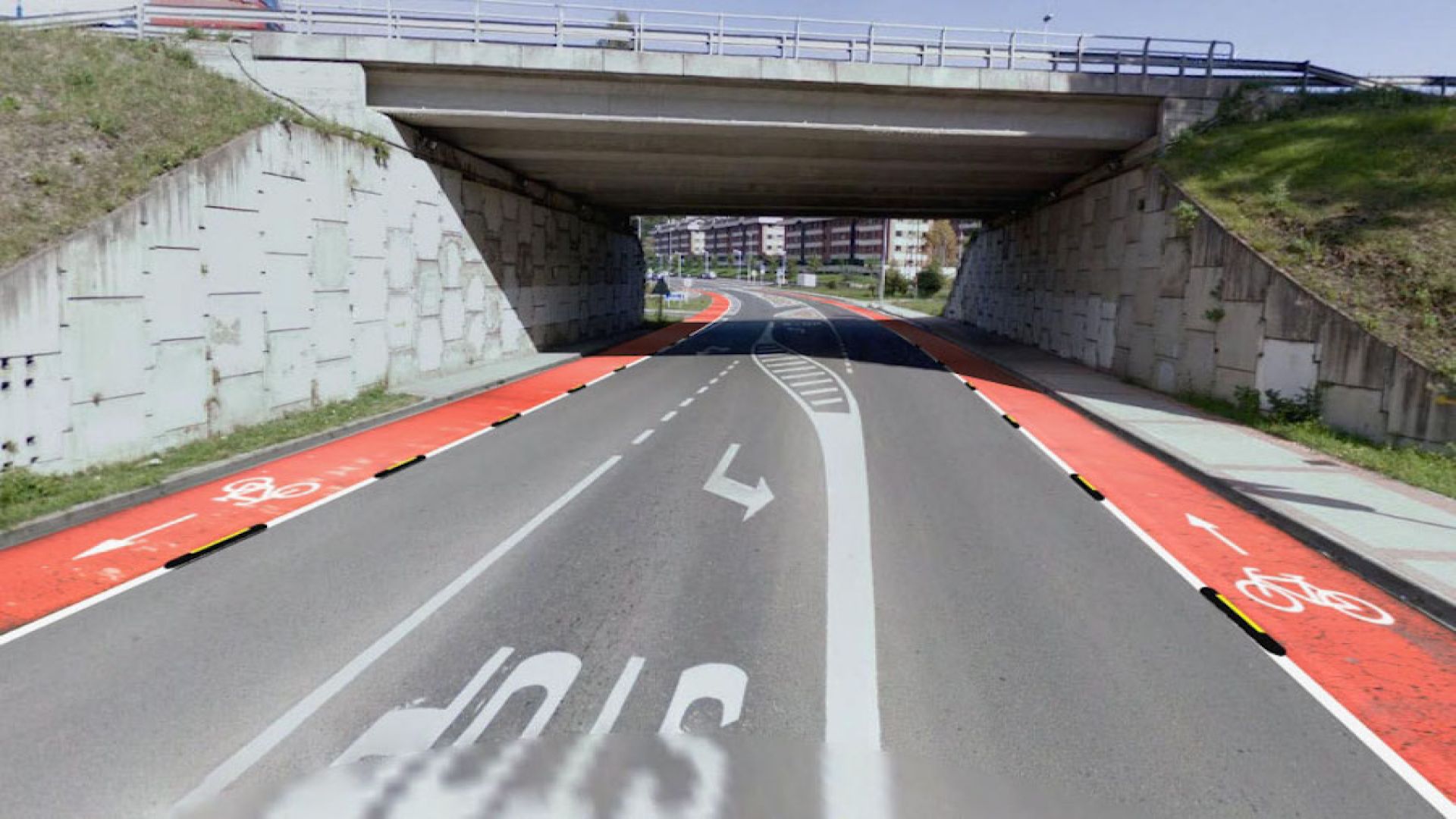
The aim of this assessment was to advise the City Council of Castro Urdiales for the reordering of traffic and the promotion of sustainable mobility in the municipality, such as the development of a Network of Pedestrian and Cyclists Lanes, which constitute an alternative to using private vehicles.
In order to conduct this Sustainable Urban Mobility Plan, different works were carried out, including the design and the subsequent analysis of home surveys, intercept surveys and web surveys, in order to find out the mobility habits in the urban area of the location; the installation of traffic counts with pneumatic technology, radar and artificial vision cameras with the aim of identifying the maximum intensities of vehicles in the main accesses and exits of Castro Urdiales; different swept path matrices in the main junctions of the city centre from the data obtained in the ATC survey of the accesses and exits; and the analysis of the routes, schedules, frequencies and route of the existing public transport, as well as an analysis of the supply and demand of the municipality’s car parks.